Assessment shows need for dozens of local tsunami vertical evacuation structures

An recent assessment shows that dozens of vertical evacuation structures are needed on the outer coast to ensure people can safely evacuate from a local tsunami in time.
Washington State Emergency Management Division had an assessment done on tsunami vertical evacuation structure needs for Pacific, Grays Harbor and Clallam counties.
The assessment was conducted by the Institute for Hazards Mitigation Planning and Research, part of the University of Washington’s (UW) Department of Urban Design and Planning and funded by a NOAA Tsunami Activities grant.
The purpose of the assessment was to analyze potential sites for vertical evacuation structures using walk-time estimates based on a tsunami from a 9.0 magnitude earthquake along the Cascadia Subduction Zone.
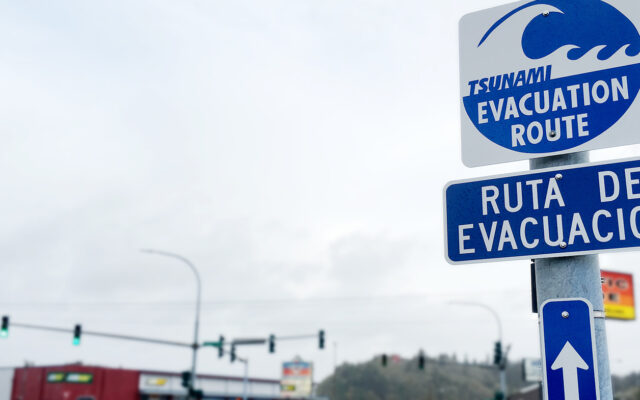
Along many parts of Washington’s outer coast, it can take an hour or more to walk to high ground or out of the tsunami inundation zone.
In the event of a large Cascadia subduction zone earthquake, people on the outer coast may only have 10 to 15 minutes once the ground stops shaking to reach high ground before a tsunami arrives.
“The study emphasizes the pressing need for many tsunami vertical evacuation structures on our coast,” says Maximilian Dixon, the geologic hazards supervisor for the Washington Emergency Management Division. “Local, tribal, state and federal partners have been working hard to better understand and reduce Washington’s tsunami risk, but much more needs to be done for the safety of coastal residents. This study provides foundational information that local organizations may use when applying for grants to build new tsunami refuges.”
The research team used their findings to develop four vertical evacuation options for each community studied. These options range from no vertical evacuation structures to the highest number needed to attain total coverage. With each option, it shows the percent/number of people that would be within 15- or 25-minutes’ walking distance of high ground, which will help communities decide on how many structures they want to build and where best to build them.
According to the assessment, Grays Harbor needs between 30 and 42 structures; Pacific County needs between 25 and 40 structures; and Clallam County needs one to three structures, depending on location choices.
- A Guide to Tsunami Vertical Evacuation Options on the Washington Coast Volume 1: Pacific County-20MB (PDF)
- A Guide to Tsunami Vertical Evacuation Options on the Washington Coast Volume 2: Grays Harbor County-22MB (PDF)
Today, the only two tsunami vertical evacuation structures in Washington state are Ocosta Elementary School near Westport and one currently under construction at Shoalwater Bay near Tokeland.
Ocean Shores was recently awarded federal funding to help build what could be the third and Westport has an application under consideration as well.
The study is accompanied by maps showing proposed tsunami refuge locations, photos of the locations, the number of people within 15-25 minutes’ walk to high ground and graphics displaying the data in an easily readable format. Summary tables for each county identify the minimum number of structures needed for the entire county and the percent/number of people in the tsunami zone who would be within 15- or 25-minutes’ walking distance of high ground if all those structures were built.
Now that this assessment has been completed at the local level – designing, planning and funding each vertical evacuation structure project can move forward into projects.
With each vertical evacuation structure carrying a multi-million-dollar price tag, this is easier said than done, Dixon notes. Fortunately, local jurisdictions can apply through WA EMD for grant funding through FEMA’s Building Resilient Infrastructure and Communities (BRIC) hazard mitigation grant program. Projects that design or construct tsunami evacuation structures have a good chance of being funded if their plan is realistic and feasible.
You Might Also Like